


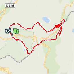


23 km | 36 km-effort

User


FREE GPS app for hiking
 SityTrail
IGN / Geographical institutes
SityTrail World
The world is yours!
Trail Walking of 14 km to be discovered at Grand Est, Vosges, La Bresse. This trail is proposed by jeanclaude12.
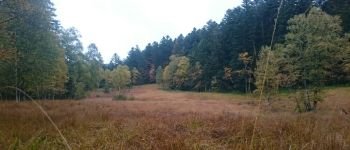
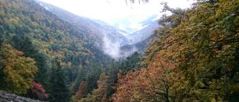
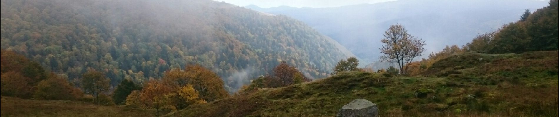
Randonnée aux paysages variés et ouverts depuis le parking du chalet de Machais vers le Col de l' Étang, la Route des Crêtes et la Ferme-Auberge de Firstmiss. Retour par le Chemin du Grand Bougre et celui du Génie.


Walking

Walking

Walking

Walking

Walking

Walking

Walking

Walking

Walking